Written by Soudip
October 10th 2014

You Are Here
Home > America > Independence Hall Historical Facts and PicturesCahokia Mounds Historical Facts and Pictures
The Cahokia Mounds State Historic Site is located around 13 km northeast of St Louis, Missouri. This ancient site is considered as the largest pre-Columbian settlement in north of Mexico and was occupied during the late Woodland period around 1200 CE. There are not much evidence left by the inhabitants apart from shell, pottery, copper, stone and wood. However, the construction of the mounds began in the Mississippian period, around 9th century CE, and the elaborated structures of mounds, woodhenge and burials exemplify the features of a sophisticated pre-urban society.
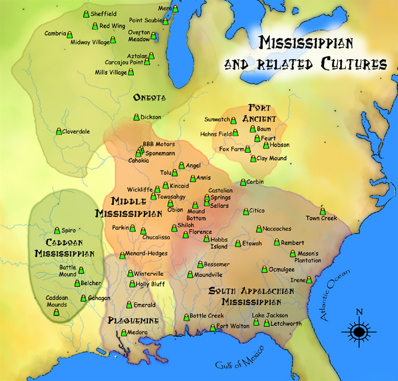
Cahokia Mounds Map
Cahokia Mounds
Structural Description of Cahokia
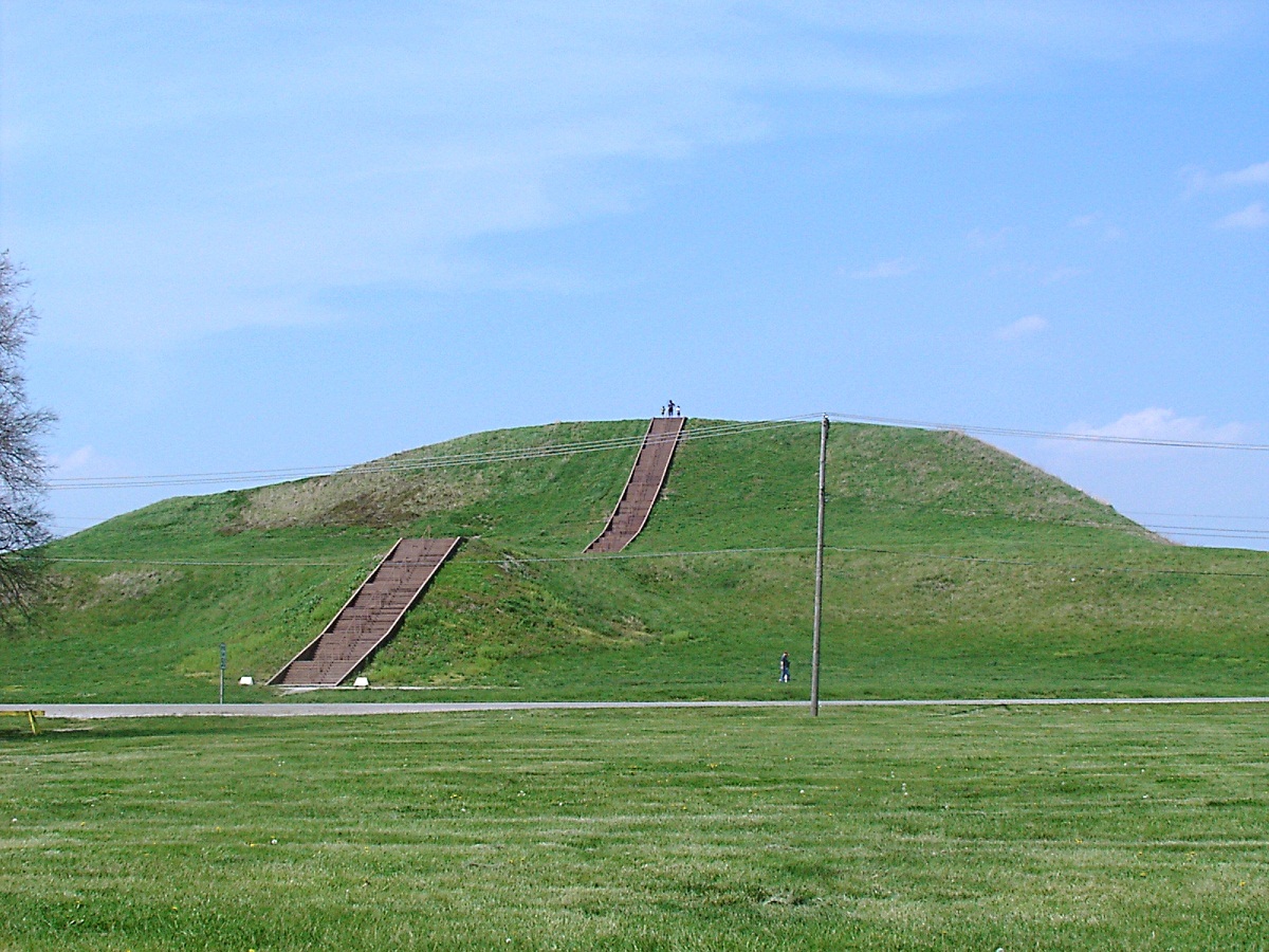
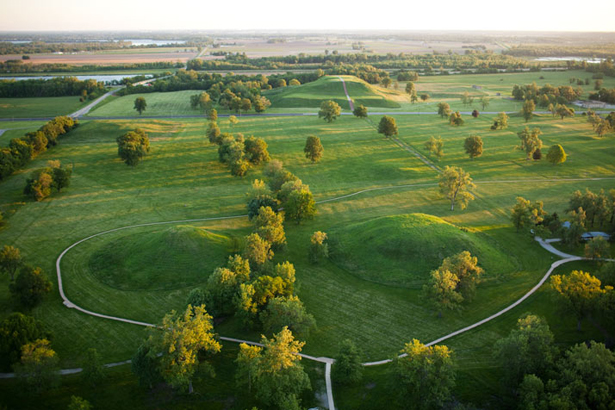
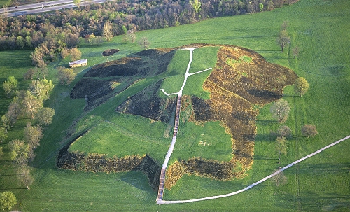
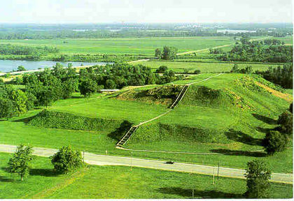
Spreading over 890 hectares, the site originally contained 120 mounds, of which only 80 remain today. All the architectural structures are built of wood and earth. It is believed that thousands of workers moved around 55 million cubic feet of earth to create this group of community plazas and mounds. Occupying 5.6 hectares of land, the Monks Mound is the largest man-made earthen mound in north of Mexico. Comprising four terraces, this platform mound is 100 feet high. The Grand Plaza is located on the south of Monks Mound. Covering approximately 50 acres, this large plaza was used for ceremonial purposes. Archaeological excavations discovered remnants of a man in Mound 72, the ridge-top burial mound on the south of Monks Mound. The falcon-shaped arrangements of the burial display the common “birdman” motif of Mississippian culture. A timber circle on the west of Monks Mound is referred to as American Woodhenge. The placement of the posts are according to the equinoxes and solstices.
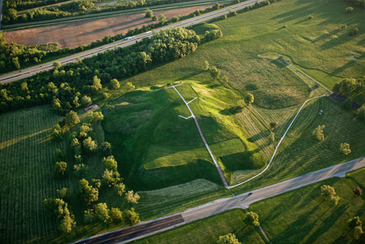
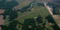
Cahokia Mounds Aerial View
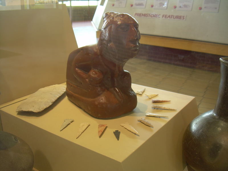
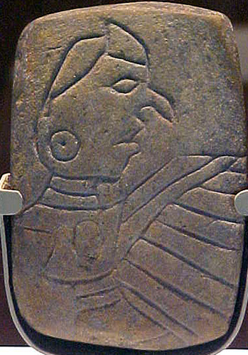
Cahokia Mounds Artifacts Pictures
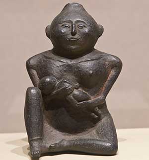
Cahokia Mounds Artifacts
Cahokia Mounds Images
Cahokia Mounds Photos
Cahokia Mounds Pictures
This is the only site in Illinois that has been designated as a UNESCO World Heritage Site. A museum was built in 1989, containing various artifacts of this ancient culture.
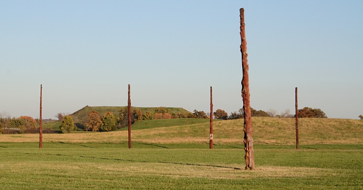
Cahokia Woodhenge and Monk’s Mound
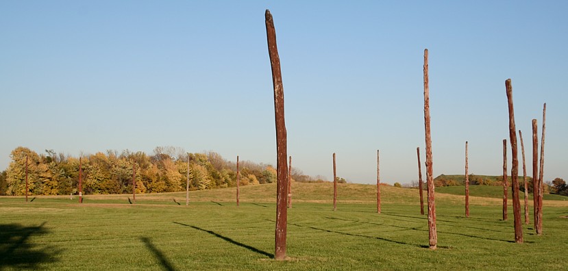
Cahokia Mounds Woodhenge
Cahokia Mounds Sandstone
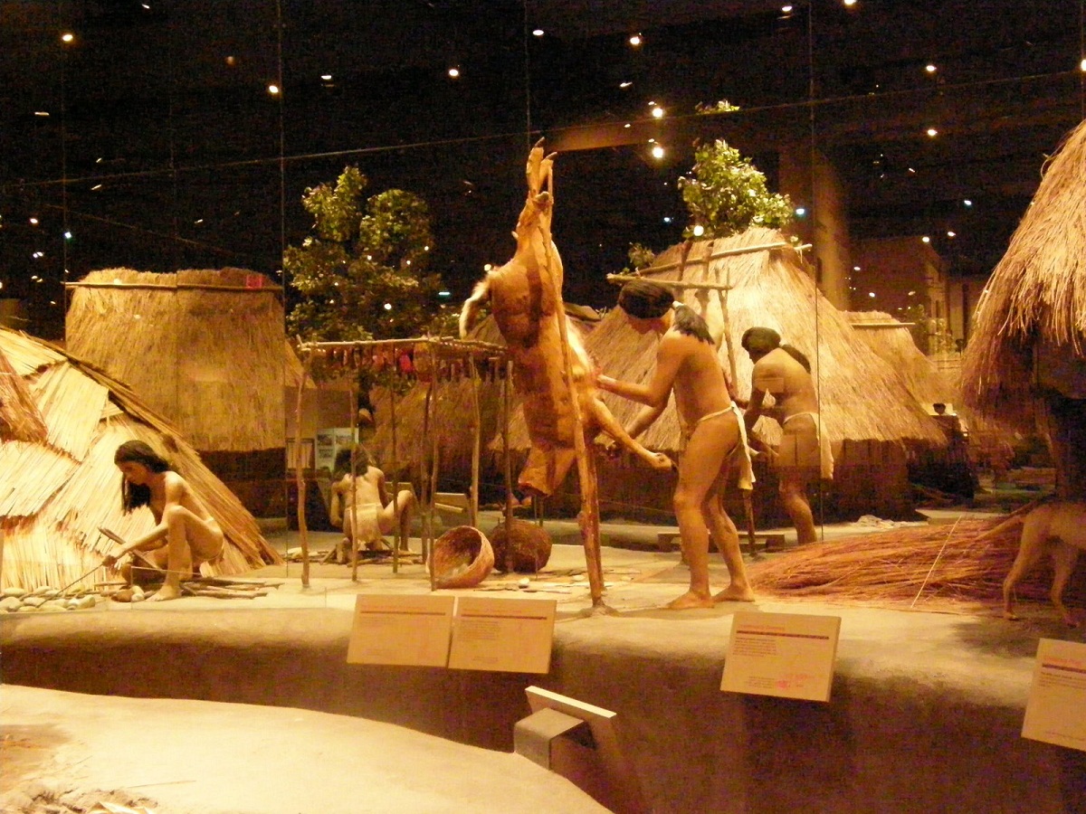
Cahokia Mounds Museum
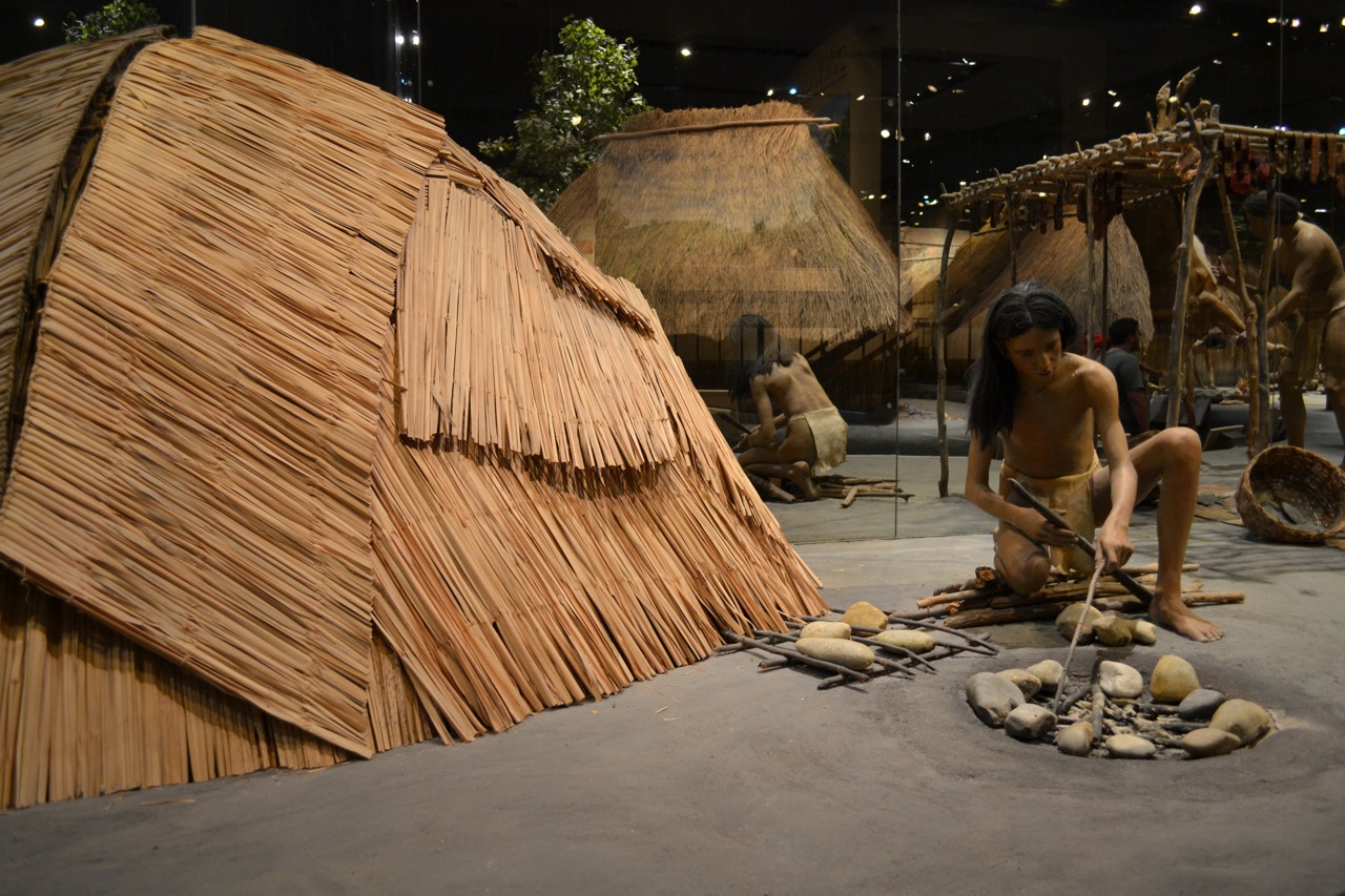
Cahokia Mounds Museum Pictures
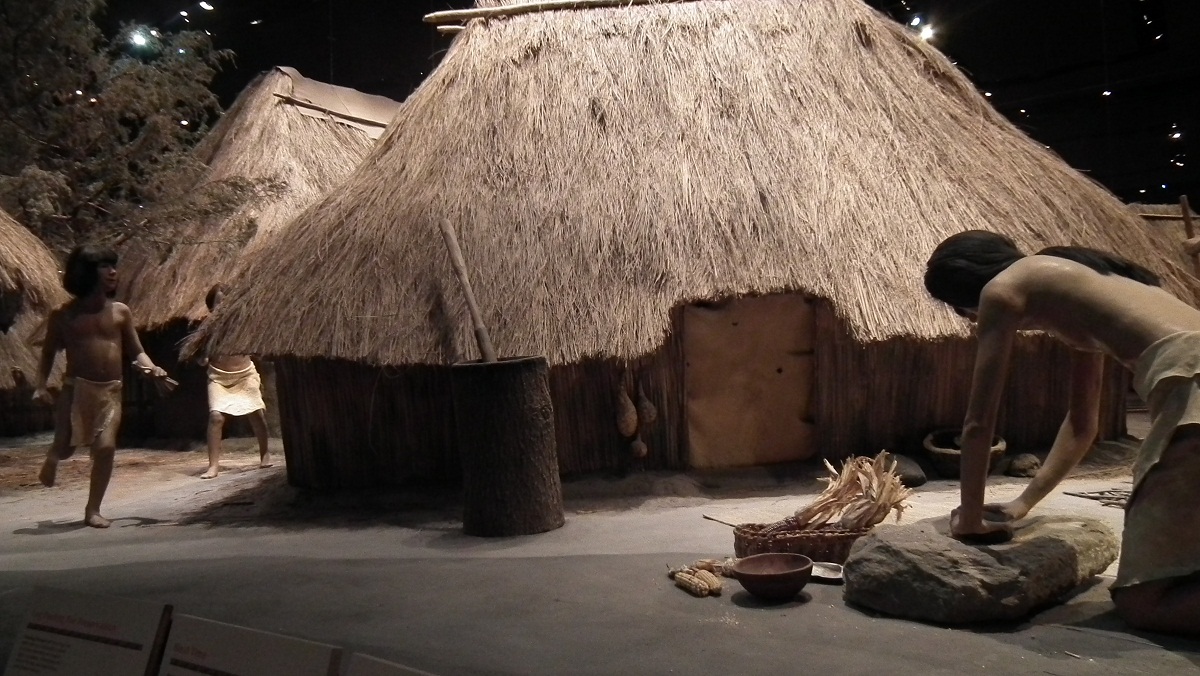
Cahokia Mounds Museum Images